
A visual history of Queen, King and Roncesvalles
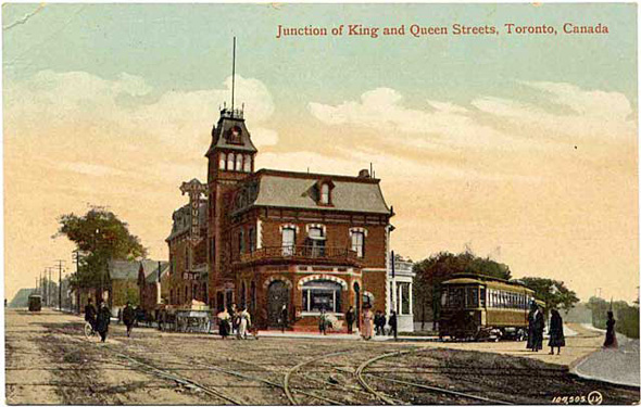
Contrary to one way of reading its title, this post isn't the product of some lofty intention to track the visual history of each of the streets listed above, but rather to peer into the past of yet another Toronto intersection. Although it might not always seem like it today, the junction of Queen, King and Roncesvalles was once a crucial transportation hub, serving as the departure point for commuter streetcars that travelled to suburban communities as far west as Long Branch in the early part of the 20th century and then later as the home of the Sunnyside Bus Terminal (on the northwest corner).
To some extent, the intersection also serves as the southwesterly gateway to the city, where lower density gives way to the urban settings along the three streets that compose its eastern and northern ends. To the west along the Queensway, one encounters the beginnings of the city's suburban reaches.
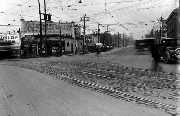
Having already featured articles on the southeastern and northwestern sides of the intersection, for today I'll confine myself to images. Alas, there are, however, a few holes. As plentiful as images from the 1920s and 30s are, the survey below shows nothing from the 1940s-60s. Should you know of digitized version of images that capture Queen, King and Roncesvalles from these decades, please let us know.
1900s
1920s
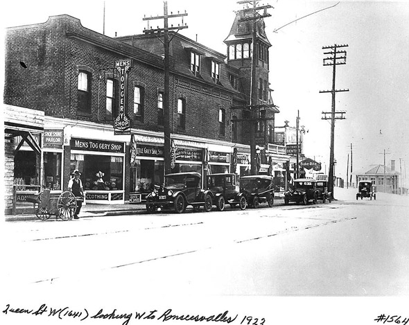
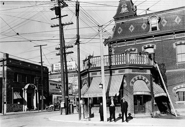
1930s
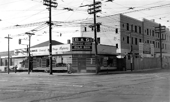
1970s
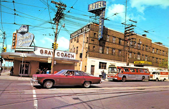
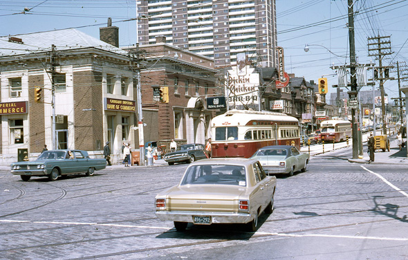
(Photo by lindsaybridge)
1990s
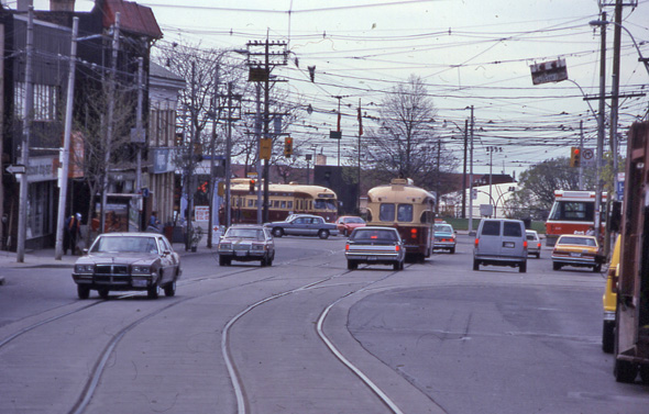
(Photo by davidwilson1949)
2000s
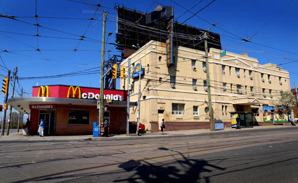
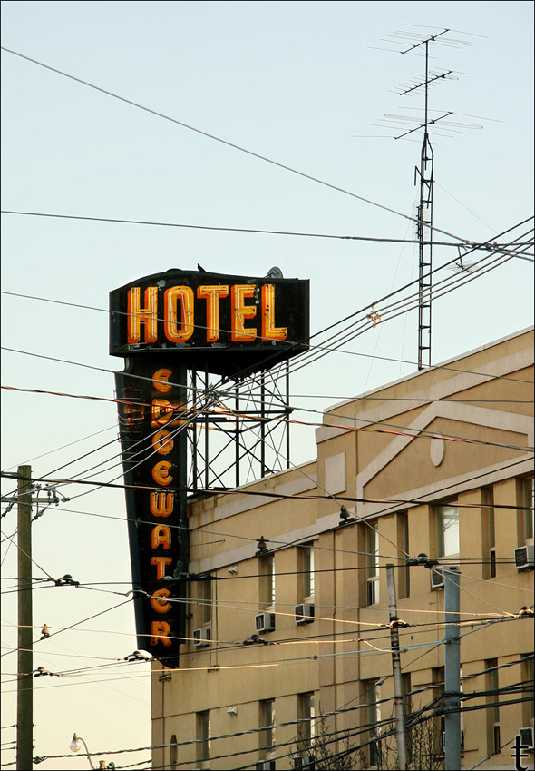
(Photo by Rick McGinnis)
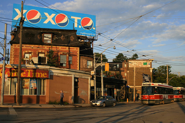
(Photo by tanjatiziana)
(Photo by McIvory)
Latest Videos
Latest Videos
Join the conversation Load comments


