
Waterfront Toronto unveils revised Port Lands plan
Waterfront Toronto's revised Port Lands revitalization plan released earlier today will continue to focus on creating new parkland and mixed-use developments around the waterfront's industrial residents despite some question marks remaining over funding and the overall timeframe for completion.
At a press conference this afternoon, top brass from Waterfront Toronto, including president and CEO John Campbell, COO David Kusturin and deputy city manager John Livey, revealed how they plan to create a desirable waterfront hub while shaving $130 million from the colossal $1.9 billion overall price tag.
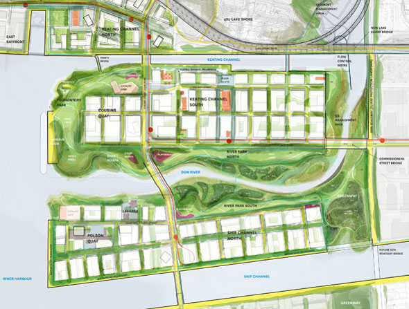
Developed as a compromise after councillor Doug Ford baulked at the slow pace and increased cost of revitalizing the industrial Port Lands (AKA: the ferris wheel moment), the new plans are a "more realistic and affordable" way of making the prime waterfront land an asset to the city. On paper at least, things look pretty spectacular.
To the casual observer, not much will have changed from the project's previous incarnation. Although the tantalizing promontory parks once slated for the mouth of the Don have been clipped to accommodate the shipping needs of the Port Lands' current residents, the figures still call for a total of just over 10 hectares of parkland (down from 14) around a lush, landscaped Don River mouth. Land for mixed-use development will be bumped up in the hopes of encouraging the private sector to commit funding to the project.
Bike lanes, new transit lines, and spruced up streets are shown criss-crossing the area in the latest renderings, though much of the transit infrastructure is tentative. No firm plans are in place for the LRT lines Waterfront Toronto envisions.
And now the caveats. Realistically, the renderings shown here are not going to be realized right away, or even in the near future. The four-phase, thirty-year project will begin by extensively flood-proofing the area east and south of the Don river mouth. At present, a storm on the scale of Hurricane Hazel would inundate a large area south of Queen Street East.
The next phase will be to slowly prepare the land - much of which is contaminated fill - for public use. Infrastructure like sewers and power lines are nearing the end of their life span and will need to be replaced. It could still be decades before anything approaching a park opens in the area.
The final and perhaps most significant hurdle, as always, is funding. Waterfront Toronto's plans do not intend to rely heavily on public sector money. Cash from land sales and private sector investment in what the group say is "strong retail demand" are expected to bring the project to a break even point.
The revised concept will go before council's executive committee on September 10 and then city council on October 3.
MORE IMAGES:
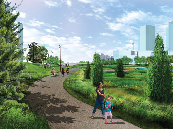
South side of the Don River park towards Cherry Street.

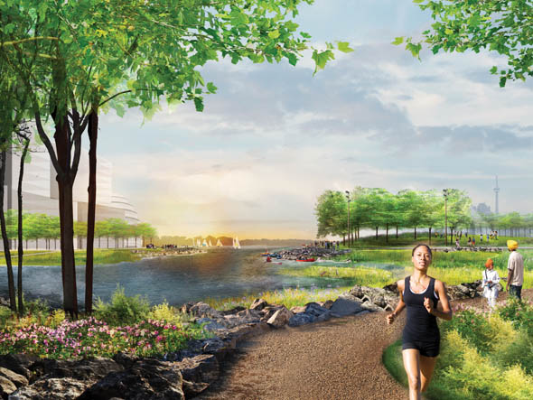
A promontory park looking west towards the Inner Harbour.
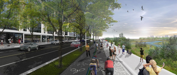
Don Roadway through mixed-use development looking south.
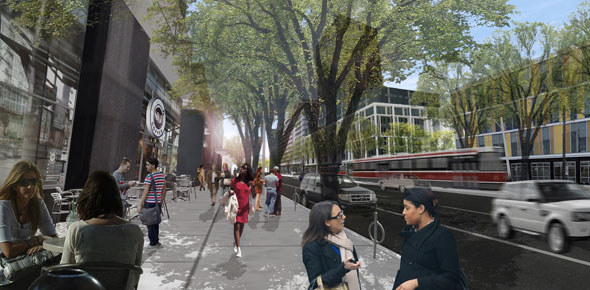
Commissioners Street east towards Ashbridges Bay.

A scene showing winter use of the dockside by ships.
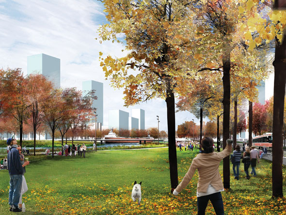
North side of the Don River park looking towards Cherry Street.
Latest Videos
Latest Videos
Join the conversation Load comments


