5 lost streetcar routes in Toronto
Toronto has the largest streetcar network of any city in North America. The TTC's fleet of light rail cars, purchased in the late 1970s and now slowly being replaced by modern, low-floor vehicles, are the backbone of the city's transit network, moving more than 1.4 million people during a typical work week.
Though this is still a streetcar city, there used to be considerably more options when it came to riding the rails in Toronto. Starting after War World II, the city and the TTC began closing down streetcar lines in favour of high-capacity subways, trolley buses, or, in at least one case, practically no service at all.
Often streetcar tracks were simply paved over to reappear like ghosts whenever there's road work taking place.
Here is a look back at some lost Toronto streetcar routes.
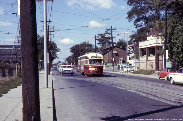
Rogers Road
- Years active: 1924-1974
- Route: The Rogers Road streetcar started at St. Clair and Oakwood, headed north on Oakwood to Rogers Rd. and traveled west to a loop at Bicknell Ave., just beyond Keele.
- Why it was lost: Rogers Road was seen as a prime candidate for conversion to trolley buses in the 1970s. The streetcar was merged with the Ossington trolley bus and, until 1992, buses ran between the Bicknell Rd. end of the Rogers Road streetcar line and King St.

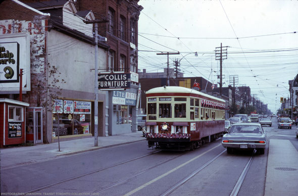
Harbord
- Years active: 1911-1966
- Route: The snaking Harbord route was also the bearer of a name that did little to describe its route. Starting at Pape and Danforth, it wound its way to Gerrard and Broadview before heading west on Dundas to Spadina, then north to Harbord before ending near Davenport and Lansdowne.
- Why it was lost: When the Bloor-Danforth line opened in Feb. 1966, the already trimmed Harbord streetcar line was sensefully nixed in its entirety. As Transit Toronto notes, the winding route, which almost certainly had the most turns of any route on the system at the time, was difficult to manage in an increasingly traffic-heavy city.

The Belt Line tour tram
- Years active: 1973-1975 (TTC)
- Route: This downtown tourist streetcar loop ran on one of two routes. The first was along Queen from Spadina to Church, south to King then back west to Spadina. The second ran along Queen from Bay to Church, then south to Wellington, west to York, before heading up to Dundas and looping back to its origin.
- Why it was lost: Though there had been other successful belt routes in Toronto, tourists failed to jump at the chance to ride a historic streetcar in a circle, even if transfers were available to other, more practical routes. The service was handed to a private operator in 1975 and cancelled entirely in the mid 1980s.

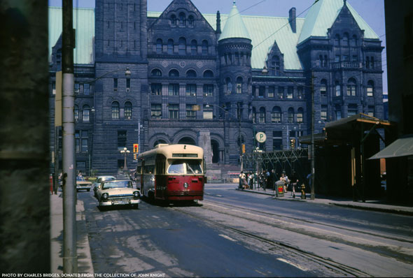
Dupont/Dupont
- Years active: 1923-1963
- Route: Most recently, the streetcars started from a loop at York and Queen's Quay, traveled east to Bay, north through downtown to Davenport Road, and west on Dupont to a loop at Christie.
- Why it was lost: Following the opening of the University line, the TTC decided to do away with the streetcar that served Bay and Dupont streets. The Bay corridor was converted to trolley bus operation in the 1970s and, according to Transit Toronto, remained popular until the overhead wires were taken down in 1993.

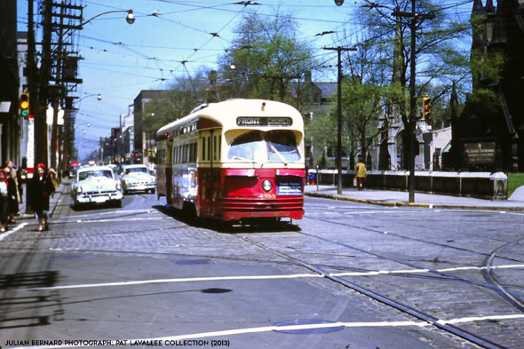
Church
- Years active: 1892-1954
- Route: Like many Toronto streetcar routes, the line was heavily altered from its inception. Most recently, Church cars ran from a loop just north of Bloor and Church south to Front, then west to Scott St.
- Why was it lost: Like other downtown routes, the end for the Church streetcar was brought about by the Yonge subway, but not for the reason you might expect. In the 1950s, the large amount of power required to run the line triggered brownouts, which forced the TTC to run buses on Church in order to ease the strain on the grid.
Transit Toronto. Written by Chris Bateman.
Latest Videos
Latest Videos
Join the conversation Load comments


