People are creating makeshift paths to get through constantly flooded Toronto park
Residents of Toronto's Riverdale neighbourhood wanting to cross the Don Valley towards the city centre on foot only have a few options: but the path over through Riverdale Park crossing the Don River is the most direct.
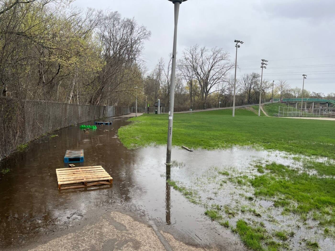
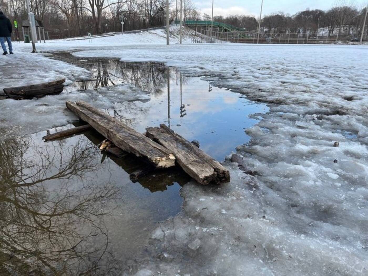
However, pedestrians and vulnerable road users in the area are calling the route "completely inaccessible" for most of the year due to heavy flooding and lack of path restoration.
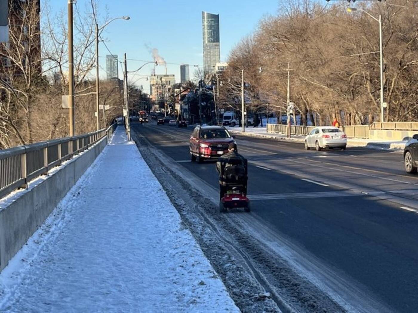
One local resident told blogTO that the Gerrard Street bridge over the Don Valley is "impassable" for anyone with any sort of mobility issues during the winter, forcing vulnerable road users to cross the valley using dangerous means.

Riverdale Park on Monday. Photo credit: Tim Millan.
"Flooding in Riverdale Park West is a complicated scenario," an email from Parks, Forestry & Recreation staff reads.
"As this area of Riverdale Park West is part of the main flood plain protection area for the Don River, in many ways it is acting as it should and will always have ponding issues."

Gerrard Bridge over the Don Valley Parkway. Photo credit: Tim Millan.
The Don Mouth Naturalization and Port Lands Flood Protection Project (PLFP) is set to transform the existing mouth of the Don River, including the Keating Channel, int0 a healthier river outlet to the lake and remove the risk of flooding in urban lands to the east and south of the river.

Riverdale Park in March 2023. Photo credit: Tim Millan.
The PLFP also aims to address the floodwaters from the Don River that overwhelm portions of the Port Lands, South Riverdale, and Leslieville during extreme weather events.
Two new outlets are being created for the existing river so that floodwaters can run off into the inner harbour instead of damaging surrounding neighbourhoods.
Despite work in progress to restore the area, residents remain concerned about the city's equitability and accessibility for vulnerable road users.
Tim Millan
Latest Videos
Latest Videos
Join the conversation Load comments


